
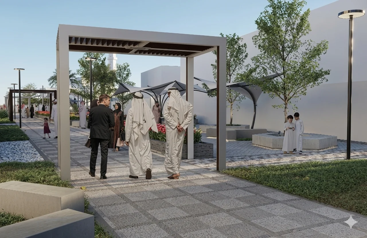
Roads, drainage and utilities need to work as a coordinated system. We help clients resolve levels, corridors, access and utility interfaces so that infrastructure supports both the immediate development and the way it will operate over time.
Where we can help
- Road alignment, geometry and junction design
- Site grading and surface-water drainage coordination
- Utility corridors and infrastructure interfaces
- Infrastructure phasing and technical coordination
Our approach
We begin with available surveys, utility records and site constraints. Concept options are tested against access, gradients, drainage and maintenance needs. Design development then brings disciplines together around coordinated drawings, documented assumptions and an agreed interface schedule.
Typical deliverables
- Concept and detailed design drawings
- Coordination schedules and design calculations
- Specifications and tender information
- Responses to technical review comments
The exact scope, deliverables and specialist responsibilities are agreed for each commission. At the outset, we confirm the project stage, available information, programme and authority interfaces so the proposal responds to the actual need.
Start with the right information
Share the site location, intended use, existing drawings or surveys, the decision you need to make and any programme constraints. We will review the brief and identify the information required to define the next step.